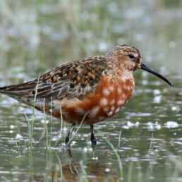

Location
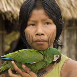
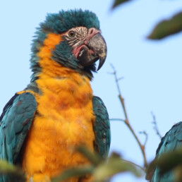
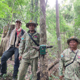
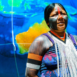
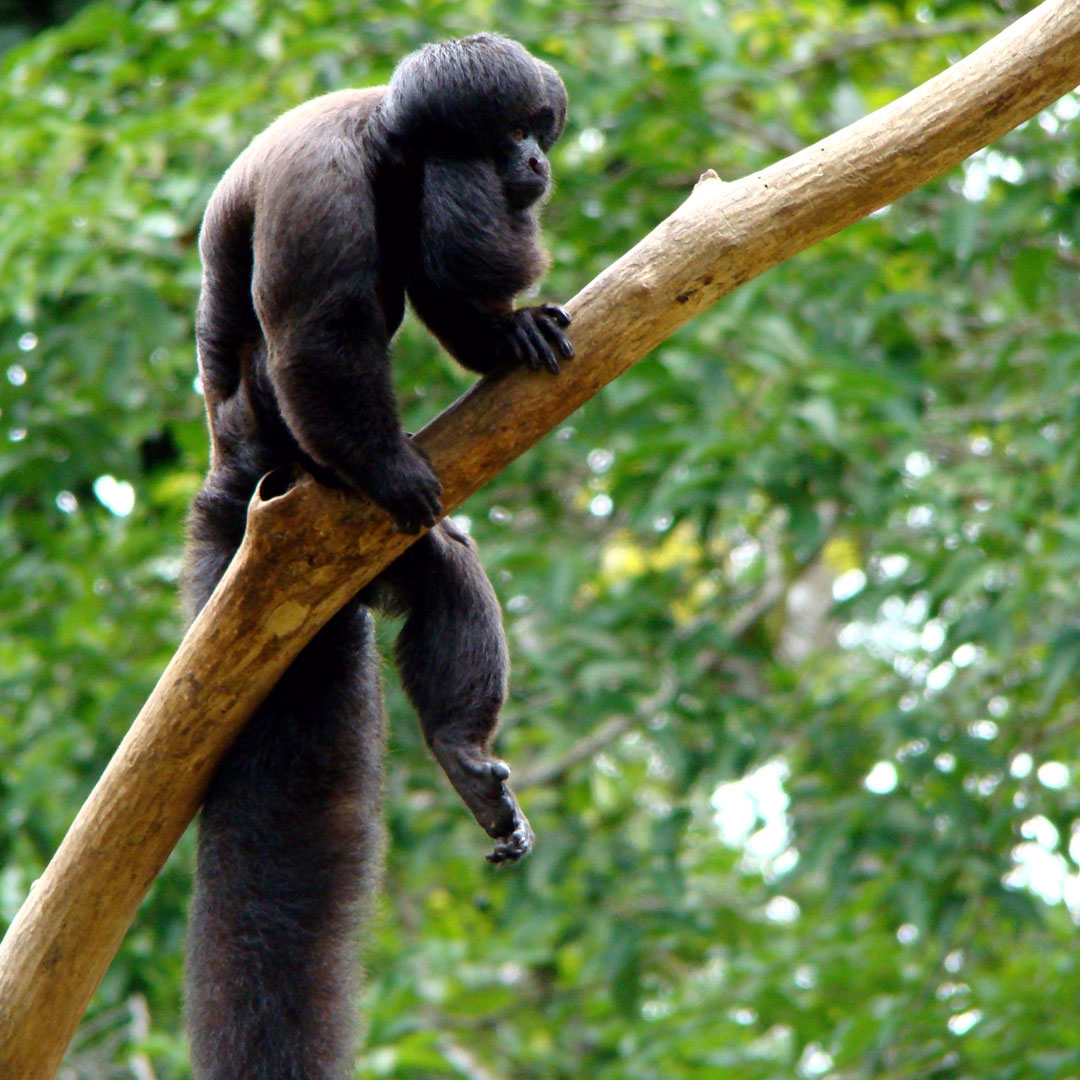
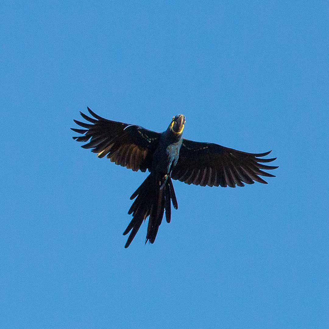
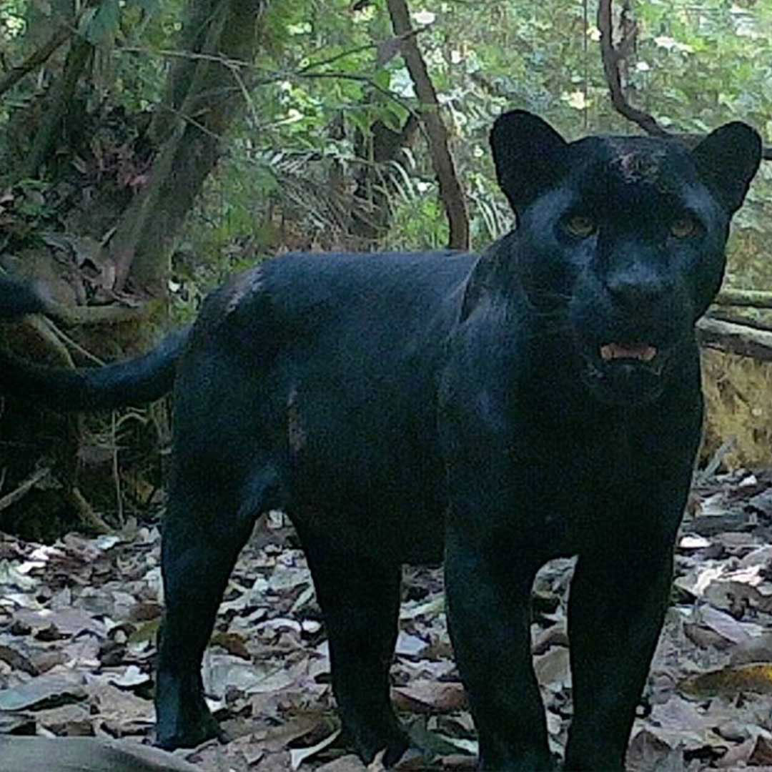
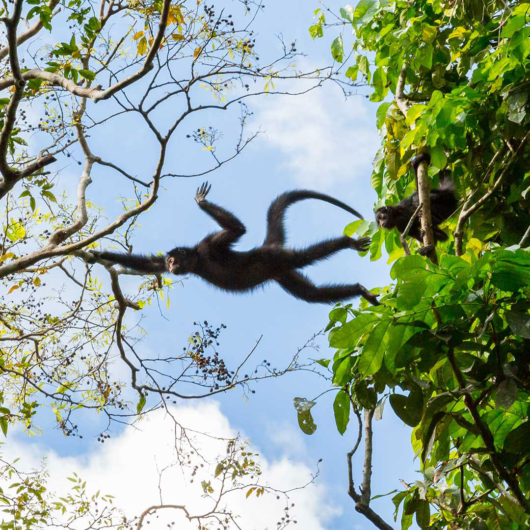
The Xingu River, a major tributary of the Amazon in Brazil, begins in the semi-deciduous forests and woodland-savannas of Mato Grosso state and flows north for 2,700 km across varying topography before ending in the wet forests of the Amazon near Belem. The Xingu spans major tropical biomes from savanna (cerrado) in the headwaters of the south to semi-deciduous and evergreen wet canopy forests of the southern, mid- and northern regions. More than 20 linguistically differentiated indigenous cultures that hold millennia’s worth of ecological knowledge are found in the forests of the Xingu.


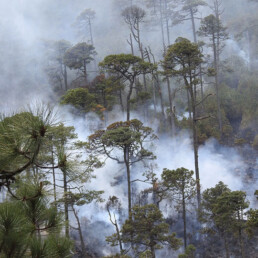
During the last four decades, the Xingu has been subject to increasingly intense deforestation as the agricultural frontier inexorably expands north and west. An “arc of fire” constituting the highest rate of deforestation in Brazil and indeed, one of the highest in the world, sweeps across the region. This process of colonization and agricultural expansion, often accompanied by violent land conflict in the lawless frontier, follows road construction, especially the perimetral framework of national highways.
With adequate roads and suitable soils, the Xingu has become an important centre for cattle production (occupying the greatest tracts of land and by far the greatest driver of deforestation), logging (almost all illegal) and production of soybean for export. Dozens of towns have sprung up along roads to support frontier activities and hundreds of thousands of people depend on the frontier economy. In addition, over the last decade a surge in gold prices is driving a wave of illegal and highly destructive goldmining in indigenous and other protected areas.
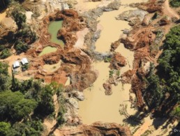
Environmental degradation and pollution caused by gold-mining.
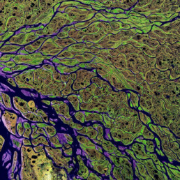
While this tsunami of forest destruction threatens to engulf the region, an enormous 28.8-million-ha network of protected areas (including both ratified indigenous territories and conservation areas) secures protection in law of 56% of the Xingu basin. This protected area corridor is the great hope for conservation of multi-landscape scale tracts of southeastern Amazonian forest with all its magnificent richness of biodiversity, indigenous cultures and ecosystem services. Indigenous lands of the Xingu are of particular importance because they occupy two thirds of the protected areas corridor and possess de facto protection services – their indigenous inhabitants.
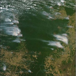
Satellite image of Kayapó lands and most of the Xingu Indigenous Park (to the south) showing plumes of smoke rising from burning of primary forest remnants outside of the Indigenous Territories. Dark green areas are indigenous lands and light brown areas are ranch and agricultural land.